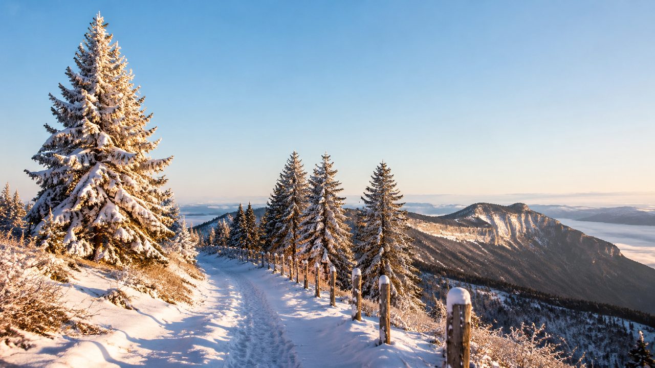
The Jura Crest Trail is Switzerland's forgotten long-distance path: more than 300 kilometres from Dielsdorf near Zürich down to Geneva, along a ridge that in summer is a gentle green ramble. In winter it becomes something else. Between December and March, snow buries the meadows, inversion fog fills the valleys, and the crest turns into a narrow white highway above a sea of cloud. This is the three-day version we come back to every winter.
Why the Jura in winter
The ridge between Chasseron and La Dôle is the Jura's high-point theatre. Chasseron tops out at 1,607 metres and La Dôle at 1,677 — high enough to sit above the winter fog that blankets the Swiss plateau for weeks at a time. On a clear inversion day you walk in sunshine while the world below disappears into a grey sea, and on the rare totally clear days you can pick out Mont Blanc from La Dôle's summit.
There is also the quiet. The ski resorts of the Alps are an hour further south; the Jura crest in midweek can be walked for hours without meeting anyone.
The Chasseron opening day
Start at Les Rasses, the little ski village above Sainte-Croix, and climb the groomed winter trail to Chasseron's summit. The route is signed with yellow winter-hiking panels and takes about two and a half hours with snowshoes. The summit cross, the panorama over Lake Neuchâtel and the fog sea below make it worth every step.
Descend the far side to Sainte-Croix for the night, or stay up at Les Rasses if you booked early. The village has a train station, bakeries and a supermarket, which matters more than the view at the end of a cold day.
Across the Vallée de Joux
Day two uses the little train that drops from Sainte-Croix to Le Pont at the head of the Vallée de Joux, then climbs the forest tracks up the valley's northern rim. Here the snowshoe route signs turn pink — itineraries maintained for snowshoers rather than skiers.
Aim for the high pastures above Les Essertines, or push toward the Col de l'Aiguillon depending on snow and time; both end in long, open descents back to the valley villages, where the bakery at Le Sentier is a legitimate objective in itself.
La Dôle finish
The last day starts at La Givrine, the pass on the French border above Saint-Cergue, and climbs La Dôle by its west ridge. The summit, with its radar dome and 360-degree view, is the classic Jura postcard: Lake Geneva below, and the Alps from Mont Blanc to the Eiger on a clear horizon.
From the summit, the descent to Saint-Cergue or La Cure takes most of the morning, and the train back to Nyon — and, if you like, the lake shore — closes the loop neatly.
Snow, safety and reading the forecast
The Jura ridge is low-angle and forgiving, but winter adds three serious factors: wind, cold and avalanche risk. Check the avalanche bulletin before every day — even modest slopes above the tree line can slide after a storm — and be honest about the forecast. Minus ten with 60 km/h gusts turns a pleasant ridge into a real undertaking.
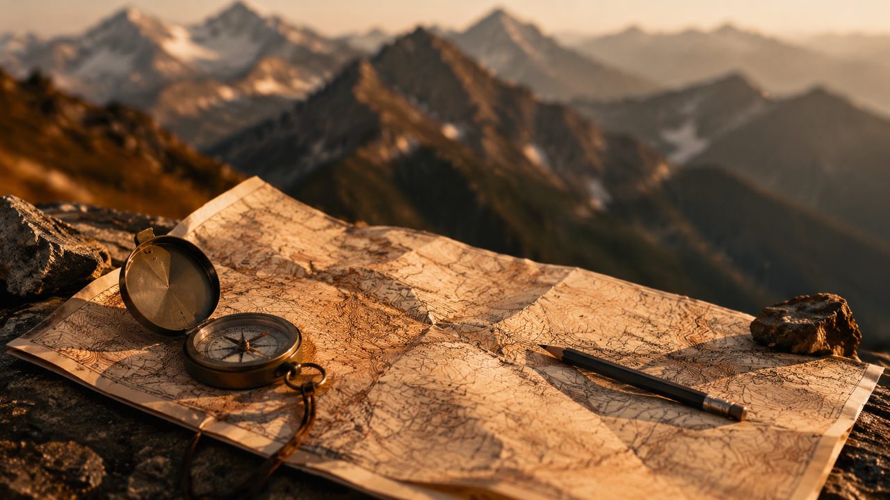
Plan five to six hours of moving time per day, start early, and carry the paper 1:25,000 sheet. The yellow winter-hiking routes are groomed and signed, but fog can drop onto the ridge without warning, and fresh snow can erase the trail completely.
Gear for cold ridge walking
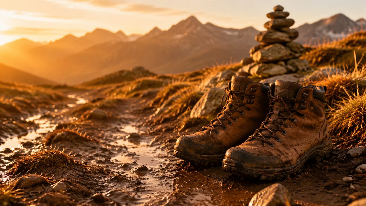
Snowshoes or, on hard-packed days, microspikes; poles with large baskets; insulated boots rather than summer hikers; and the full cold-day system — base layer, fleece, shell, down jacket, buff, gloves and a spare pair of gloves in the pack. Add a thermos, sunscreen and sunglasses; the glare off snow is fierce even in December.
The entire 300-kilometre Jura Crest in winter is an advanced expedition. The three-day Chasseron–Dôle section is the perfect introduction: real mountains, honest conditions and a train at both ends.