Tasmania's Overland Track is the rare long-distance walk that has to be rationed. The state parks service caps the number of walkers setting out each day in the main season, so you share the mountains with a couple of dozen people instead of a couple of hundred. I walked it in six days in early autumn, and the weather gave us everything except boredom.
What you sign up for
The track runs 65 kilometres from Cradle Mountain in the north to Lake St Clair in the south, normally over six days and five nights. The profile is not extreme — the highest maintained point sits around 1,200 metres — but the walking is relentless: boardwalk, mud, rock steps, and side trips that add serious metres.
You need a national parks pass and a separate walking booking, both arranged online. The booking is the hard part: in the peak season, a large share of the daily capacity goes on the day applications open, so mark the calendar.
The Cradle start
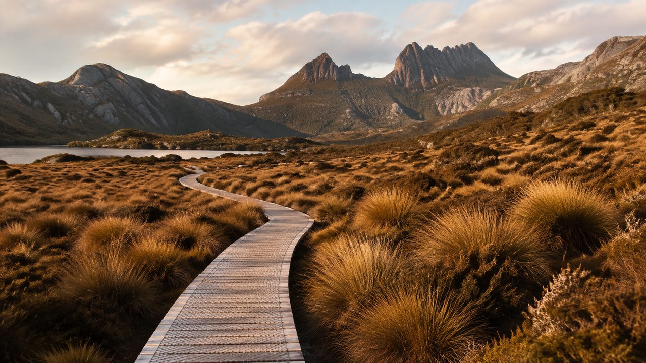
Day one climbs from the visitor centre to Marion's Lookout, a short spur with a panorama over Dove Lake and the Cradle summit block at 1,545 metres. The track then winds down through ancient rainforest and out onto the first of the buttongrass plains, heading for Waterfall Valley hut.
If the weather holds, the summit of Cradle itself is a justifiable add-on — a steep scramble most walkers attempt on the first morning, before the wind arrives.
The plateau days
The middle of the walk is the part nobody photographs and everybody remembers: endless boardwalk over sphagnum and buttongrass, pencil pines in the gullies, and views that change from grey-green moor to snow-patched peak in an hour. Windermere, Pelion and Kia Ora huts mark the days, each one a small timber settlement in the wilderness.
Expect mud. The track is boardwalk punctuated by real walking; the parks service maintains it brilliantly, but Tasmania grows rain faster than anyone can pave.
Mount Ossa, if the sky clears
Mount Ossa, at 1,617 metres the highest peak in Tasmania, is the walk's great side trip. The turn-off sits between Pelion and Kia Ora, and the summit takes a fit walker four to five hours return — a steep, scrambly hour up the shoulder, then an easy ridge to the top.
Check the sky before committing. On a clear day the whole island appears to fit inside one view; in cloud, the summit is a wind tunnel with a trig point and no reward at all.
Huts, tents and booking
The huts — Waterfall Valley, Windermere, Pelion, Kia Ora, Windy Ridge and Echo Point — offer wooden platforms, water and basic shelter, and they fill in order of arrival. Because the daily quota is small, the compromise is gentler than on Alpine routes: everyone sleeps, usually indoors, in a well-tempered order.
You should still be able to camp, because the huts cannot hold everyone on a wet night. Carrying a light tent is the standard insurance, and the tent platforms beside the huts make a rainy arrival tolerable.
Weather and the winter window
The Cradle region collects around 2,500 millimetres of rain a year, and the track crosses open ground where the forecast can change from blue to white in twenty minutes. The walking season runs November to April; I went in April, when the crowds thin and the first snow dusts the peaks.
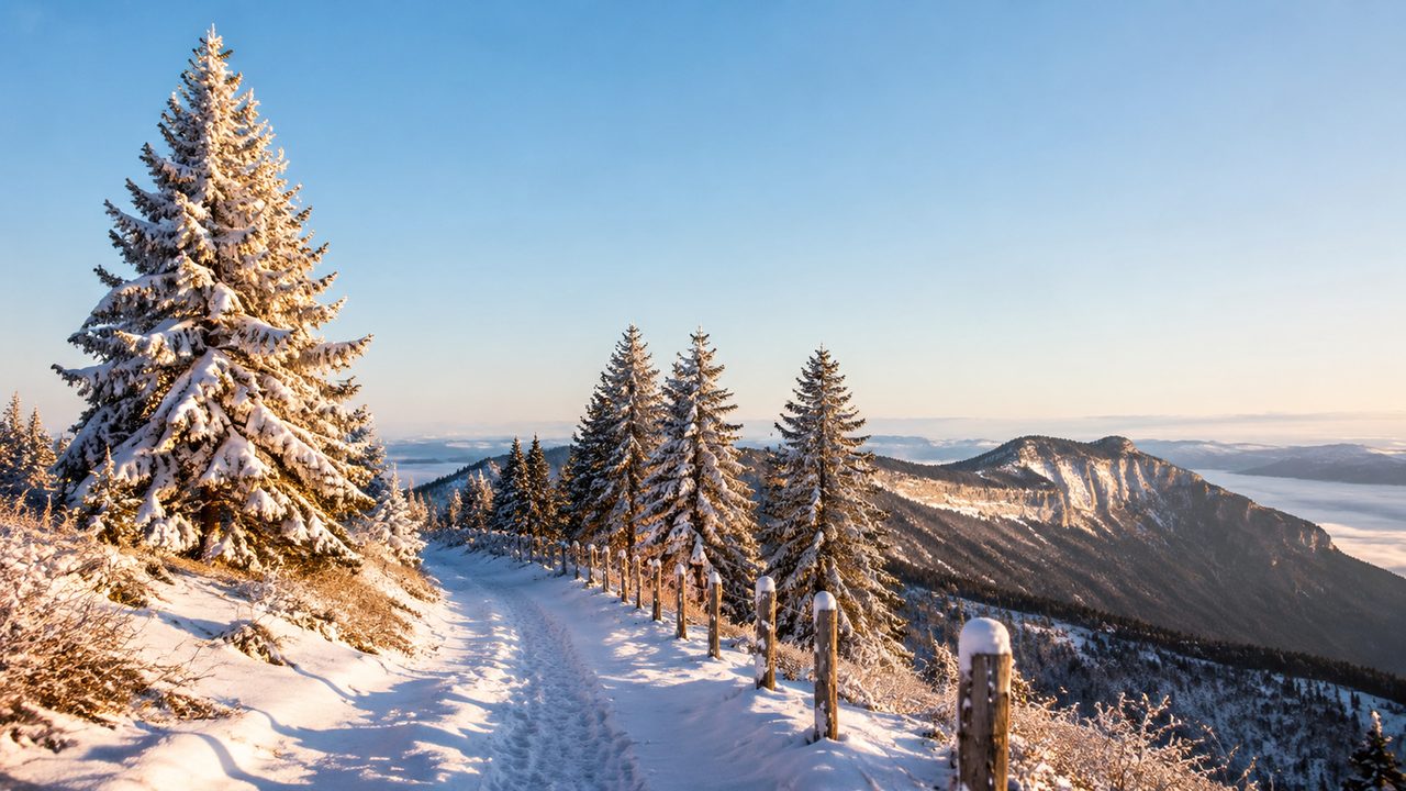
Between June and October the track stays open only for experienced, well-equipped parties, and snow can lie on the high ground for weeks. That is a different, more serious walk — plan for it accordingly, or save it for summer, when the boardwalk is just wet and wonderful.