The West Highland Way runs 96 miles (154 kilometres) from Milngavie, on Glasgow's northern edge, to Fort William at the foot of Ben Nevis. Most people walk it in six to eight days; we did it in five with a tent, which meant longer days but a lighter pack and a reason to push on. This is how the five-day version fits together, and where the extra effort lands.
Why five days
Five days is a compromise you should make deliberately, not by accident. The average day comes out at roughly 19 miles (31 kilometres), which is a solid but not heroic distance on a trail with no real passes until the end. The real cost is the lochside section on day two, where the path climbs and drops constantly. The reward is a shorter trip that still crosses every landscape the Way is famous for, from lowland fields to the moor and the glen.
Day one: Milngavie to Rowardennan
Start at the obelisk in Milngavie, where the Way begins at a stone pillar in the town centre. The first miles are suburban and easy, following the old road past Craigallian Loch before the path turns to gravel. By Drymen the fields have gone green and the Campsie Fells sit on the horizon. The full stage to Rowardennan is about 20 miles (32 kilometres), with a short ferry question at Balmaha: the official path walks the shore, but the summer ferry across to Inversnaid saves you the hilliest miles if your legs object. Rowardennan has a campsite, a bunkhouse and a pub, and it sits directly below the Ben Lomond path if you want an evening summit.
The lochside grind
Day two, Rowardennan to Inverarnan, is the day the Way earns its reputation. The path hugs Loch Lomond's eastern shore, and the terrain is constant: steps up, steps down, roots, rock slabs and a half-dozen little beaches that beg you to stop. The 13 miles (21 kilometres) take most of the day because none of it is flat. Past Inversnaid the path narrows above the water, and the wooded sections close in. It is beautiful, and it is slow. If the weather is wet, this is also the day your boots get properly tested for the first time.
Rannoch Moor and the Black Mount
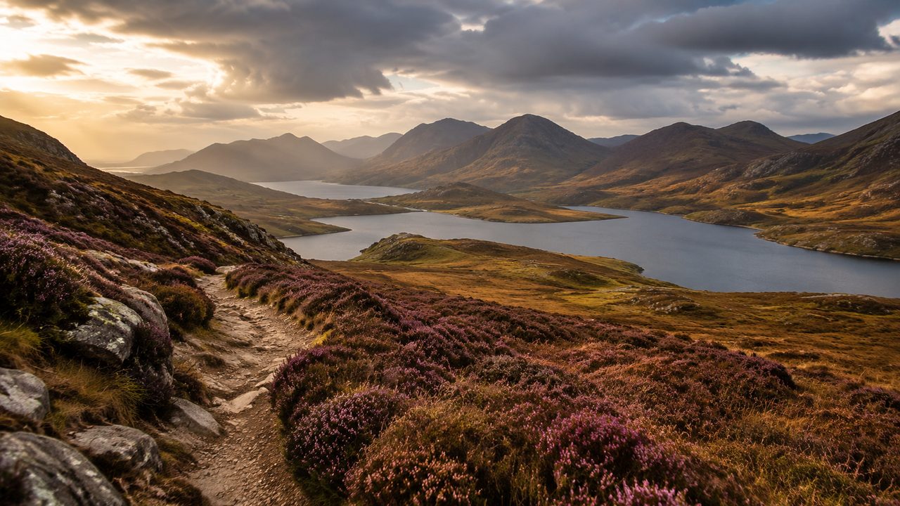
The Way leaves the loch at Inverarnan and climbs through the forest to the top of Crianlarich's shoulder, then follows the old military road across the edge of Rannoch Moor. This is the section that feels most like Scotland's reputation: open bog, black water, the Buachaille's profile ahead. The military road is a raised causeway of stones, which keeps your feet dry when everything around you is wet. The climb over the A82 and down towards Glencoe is exposed, and the wind here is honest. On a clear day it is the best walking of the trip; in mist, follow the line of stones and trust the map.
Glencoe to Kinlochleven
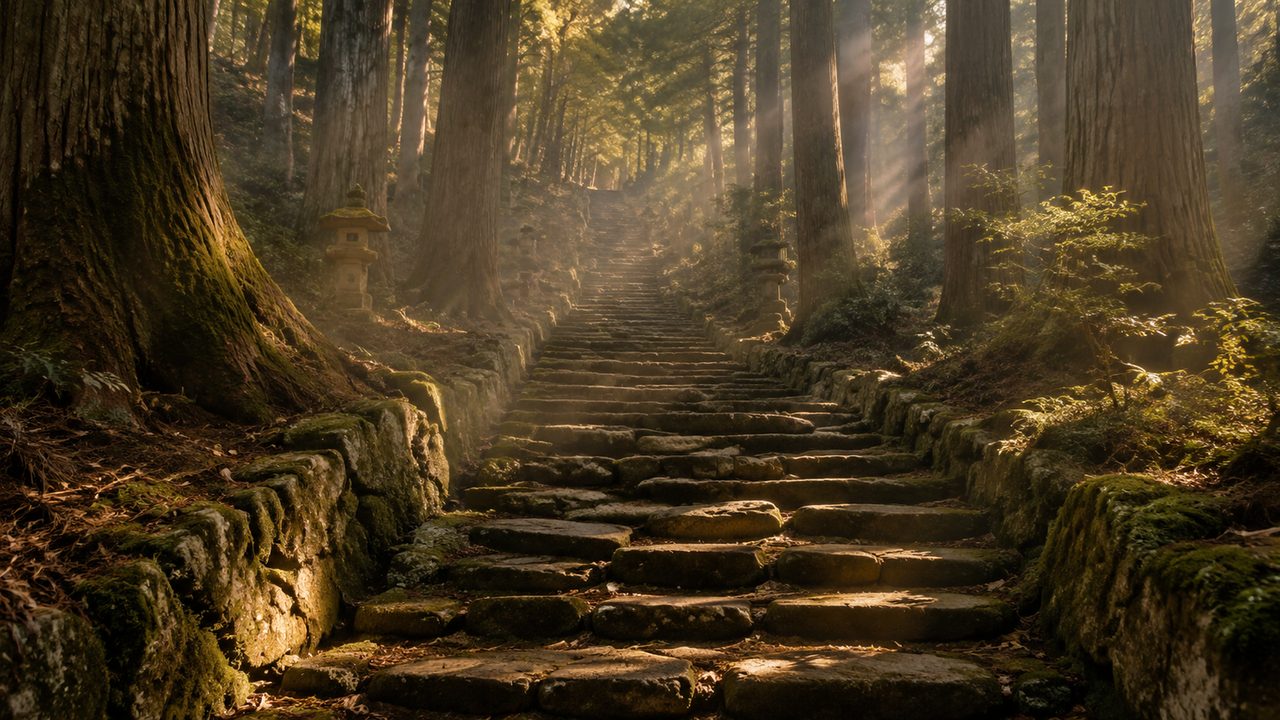
From the Kingshouse area the Way picks up the Devil's Staircase, a stone staircase that climbs to a bealach at about 550 metres before dropping into Kinlochleven. The name sounds worse than the walk: it is a steady, straightforward climb on good stone, and the view back across the moor is worth stopping for. Kinlochleven is a purpose-built walking town with a campsite, a bunkhouse and one of the best fish and chip shops on the route. If the legs are strong, the alternative is to continue over the Lairigmòr and finish a day early, but the ridge route from Kinlochleven over the Mamores is the way the five-day plan earns its final morning.
The last day into Fort William
The final stage, Kinlochleven to Fort William, climbs over the shoulder of the Mamores and drops down the Lairigmòr glen. At about 15 miles (24 kilometres) with one serious climb, it is the natural end of the trip. Ben Nevis appears at the top of the climb, and the town below is a shock of supermarkets and train timetables after four days of moor. Finish at the Way's official end marker on the seafront, then decide the rest: the train back to Glasgow takes about four hours, and the sleeper from Fort William to London runs in season.
Camping, bothies and what to carry
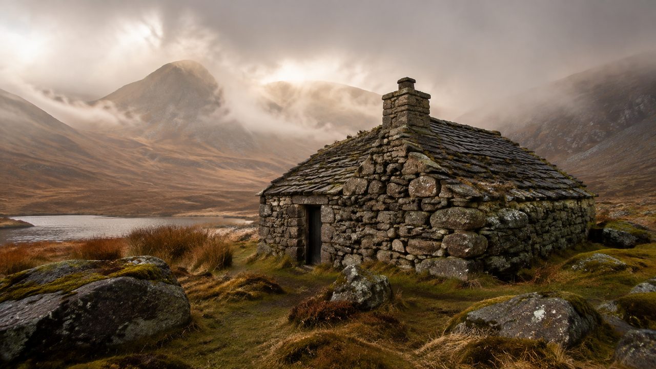
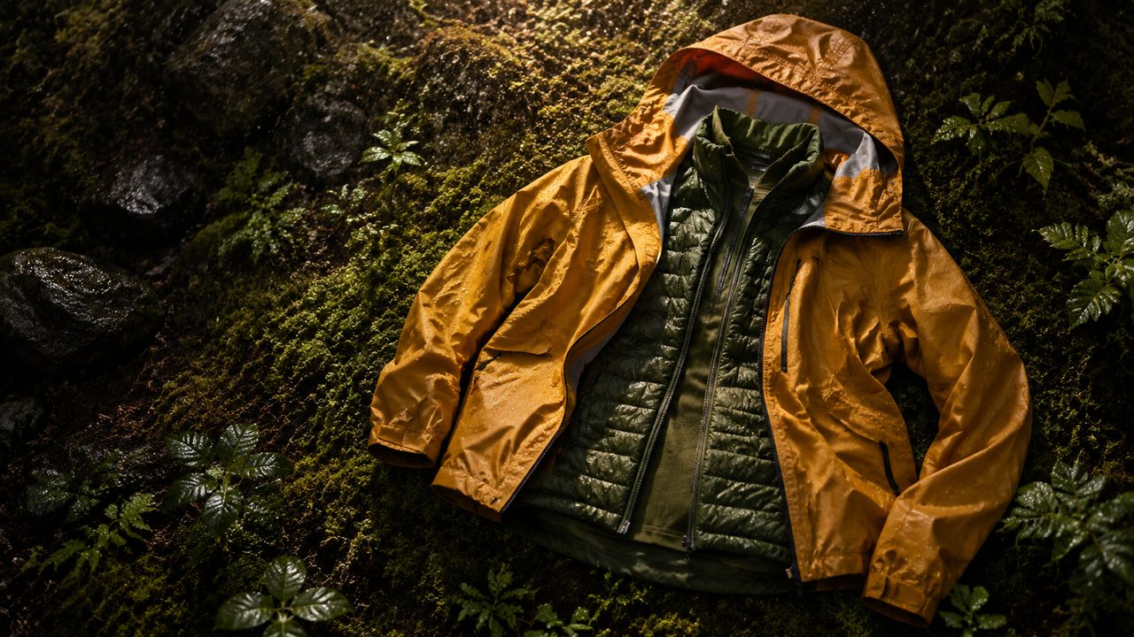
Camping on the Way is straightforward outside the lochside sections: most landowners tolerate wild camping on the open moor, and there are formal campsites at Rowardennan, Inverarnan and Kinlochleven. The bothy option exists a short distance off route in places, but the Way itself is better suited to the tent. Carry a lightweight two-person shelter, a stove for the moor days, and expect midges from June to August — a head net is not optional. Boots, not shoes, for the lochside rock; and remember the water: the campsites are good, but between the loch and the moor, treat what you find.