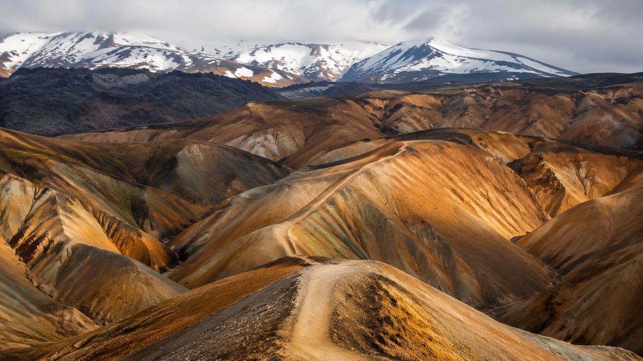
The Laugavegur connects two famous bases: Landmannalaugar, where the trailhead steams with hot springs at the edge of a lava field, and Thórsmörk, a birch-filled valley squeezed between glaciers. In between lie about 55 kilometres (34 miles) of Iceland's most photographed terrain — rhyolite hills in pink, orange and green, a black obsidian desert, and river crossings that get your heart rate up. It is walkable in three or four days with hut-to-hut logistics.
What the Laugavegur is
The route runs roughly south from Landmannalaugar, dropping from around 600 metres to Thórsmörk at 250 metres, with the hardest climbing on day one. The official walking season is mid-June to mid-September, when the mountain huts are staffed and the rivers are at their lowest. It is a one-way trail, so transport is part of the plan: a highland bus drops you at Landmannalaugar and picks you up at Thórsmörk, with both services run by the same operators in summer.
The rainbow day
Day one, Landmannalaugar to Hrafntinnusker, is short in kilometres (about 12) and long in climbing (roughly 500 metres). The reward is the best scenery of the trip: the Brennisteinsalda hill with its sulphur-yellow streaks, the Laugahraun lava field, and the obsidian slopes of Hrafntinnusker. The hut at the top sits at about 1,100 metres, the highest point of the whole walk, and the views over the highland plateau justify the climb. This is also the day the weather can turn fastest — the highland is exposed in a way that makes the lower valleys feel tame.
Black desert to Álftavatn
Day two crosses the real wilderness: a black volcanic desert with the sudden white patch of the 2010 eruption deposits, then a steep descent to the lake at Álftavatn. The distance is only 12–13 kilometres, but the terrain is hard going — loose pumice, exposed ridges and a river crossing or two. The Álftavatn hut is a classic: a cluster of buildings by a dark lake under a mountain wall, with hot showers and a reputation for good food. If the weather is rough, this is the day to decide whether to push on or wait.
Rivers: when to cross
The Laugavegur's rivers are the thing locals ask about, and the honest answer is that they vary by week. Most crossings are knee-to-thigh deep in July and manageable with poles; after heavy rain they run fast and cold. The big ones — the Jökultungur and the Markarfljót crossings — are best done in the morning when meltwater levels are lowest. Always cross with a companion, undo your hip belt so you can ditch the pack, and use poles or a stick. If a river looks genuinely dangerous, wait: the staffed huts will tell you the conditions of the day.
Huts, food and permits
The Ferðafélag Íslands and its partner clubs run the huts, with bunks, a drying room and evening meals that are simple and filling. Book in advance in July and August; the huts fill with families and guides. Prices run about 9,000–12,000 ISK for a bunk with bedding, and meals add more. Cooking your own food is possible at most huts, but you carry every gram — the highland has no shops. Camping near the huts is allowed for a fee, which is the budget option.
Season, weather and the carry
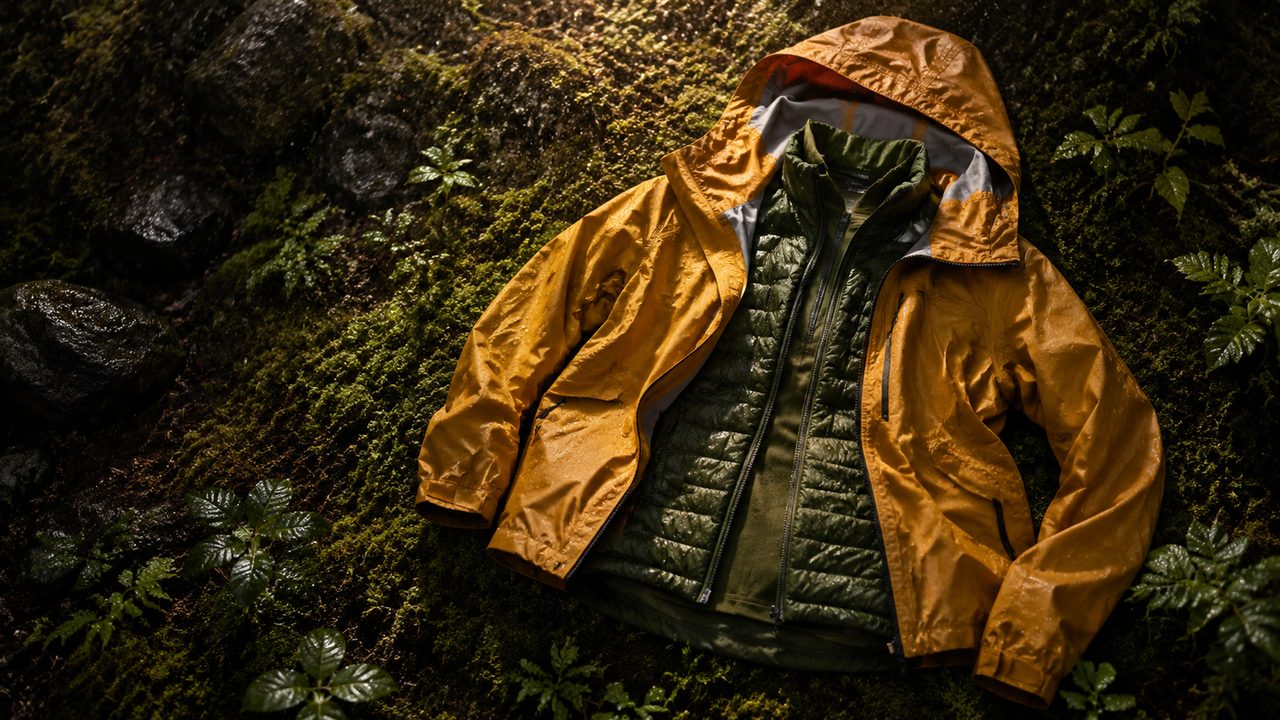
The Laugavegur is only reliably open for about three months, and even then you can see all four seasons in a day. Pack for cold: a warm layer and a proper shell are not optional even in August, and the wind on the open ground is the hardest thing to predict. Gloves, a hat and sunglasses for the bright volcanic ground round out the kit. The trip ends at Thórsmörk, where the forest feels like a different country after the desert — and where the hot springs and the bus back to Reykjavík wait.