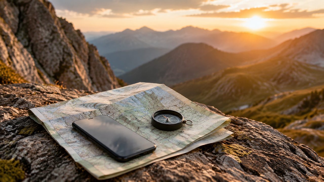
The debate between phone navigation and paper maps is settled in most walkers' packs: both. The phone has replaced the map and compass for most day-to-day navigation because the apps are genuinely excellent — offline maps, live position, route files, no signal needed. The fear of the dead phone is not irrational, but it is manageable. This is how we plan for it, and why the paper map still has a job.
The phone is good now
Modern GPS in phones is accurate to a few metres in open terrain, and the leading offline apps — the ones that download real topographic maps — handle the same tasks as a printed map plus a compass, with a moving dot on top. For well-marked trails the phone is enough for most of the trip; the skill is in not trusting it blindly. Download the maps for the whole trip before you leave the signal, check the route files at home, and practise the app's features at the trailhead while the path is still obvious.
Offline apps that work
The useful ones have three features in common: downloadable topo maps for entire regions, a track-and-recording function, and a way to drop and mark waypoints. Several leading apps are free for basic use and charge a subscription for premium map layers; the paid layers are worth it if you walk in areas with poor official coverage. Download at home on wi-fi — a region can be hundreds of megabytes — and test the app's offline mode before relying on it. A phone in airplane mode still fixes your position; it just stops checking the network.
Battery math
The real risk is the battery, and the fix is arithmetic, not anxiety. A phone with the screen off and GPS logging every few seconds uses a few percent per hour; with the screen on for navigation it is far more. Carry a 10,000 mAh power bank, put the phone in airplane mode, turn off the always-on display, and keep it in a warm pocket, since cold kills the battery fastest. The habit we use: phone off except at junctions and viewpoints, power bank for the emergencies. That gives three days of honest navigation from one charge.
The paper map habit
The paper map's job is not to be your primary navigator but to be your reference and your backup: the thing you can read at breakfast, plan the day on, and use when the phone dies or the GPS drifts. It also shows the bigger picture — the ridge ahead, the next valley, the bail-out path — that a phone screen cuts off. Carry the right map for the region, keep it in a dry bag, and mark your route on it each morning. A compass and the ability to take a bearing complete the system; they weigh nothing and they never need a charger.
When GPS lies
GPS is least reliable in the places you need it most: deep valleys, dense forest and under cliffs, where the position wanders or the accuracy drops to tens of metres. The classic failure is standing on the wrong branch of a junction in a forest and trusting the dot. The recovery habit is the same as with paper: look at the terrain, check the contour shapes around you, and let the map confirm the phone. If the phone and the terrain disagree, trust the terrain.
A pre-trip checklist
Ten minutes at home prevents the anxious phone-death on the hill: download the offline maps, load the route file, test that it opens, charge everything, and pack the power bank and cables, including the short one that fits in a pocket. Then put the paper map, compass and the printed emergency contacts in the pack as the layer that never fails. With both systems in place, the phone becomes what it should be: a brilliant convenience, not a lifeline.